Star-X Internet Maps


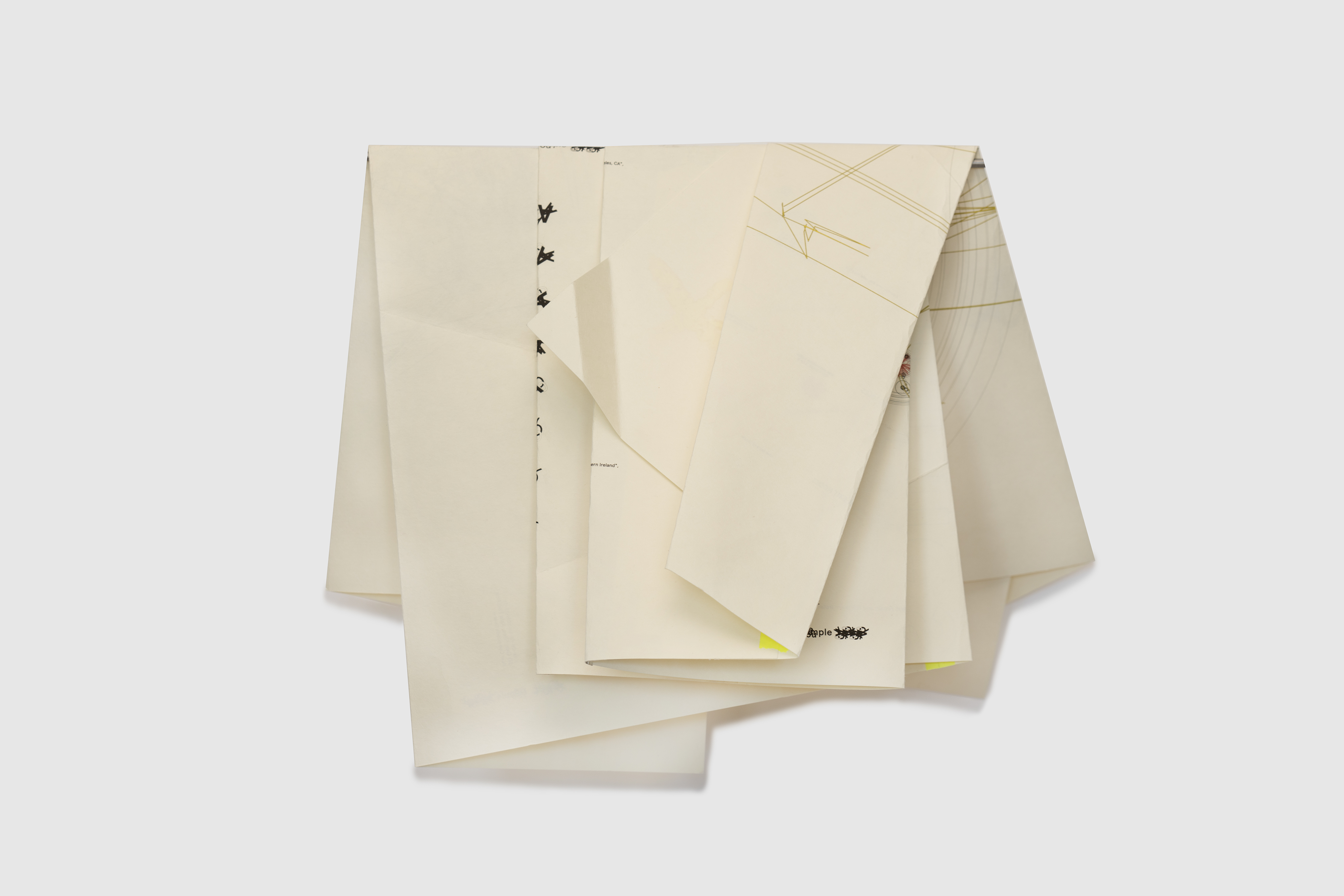
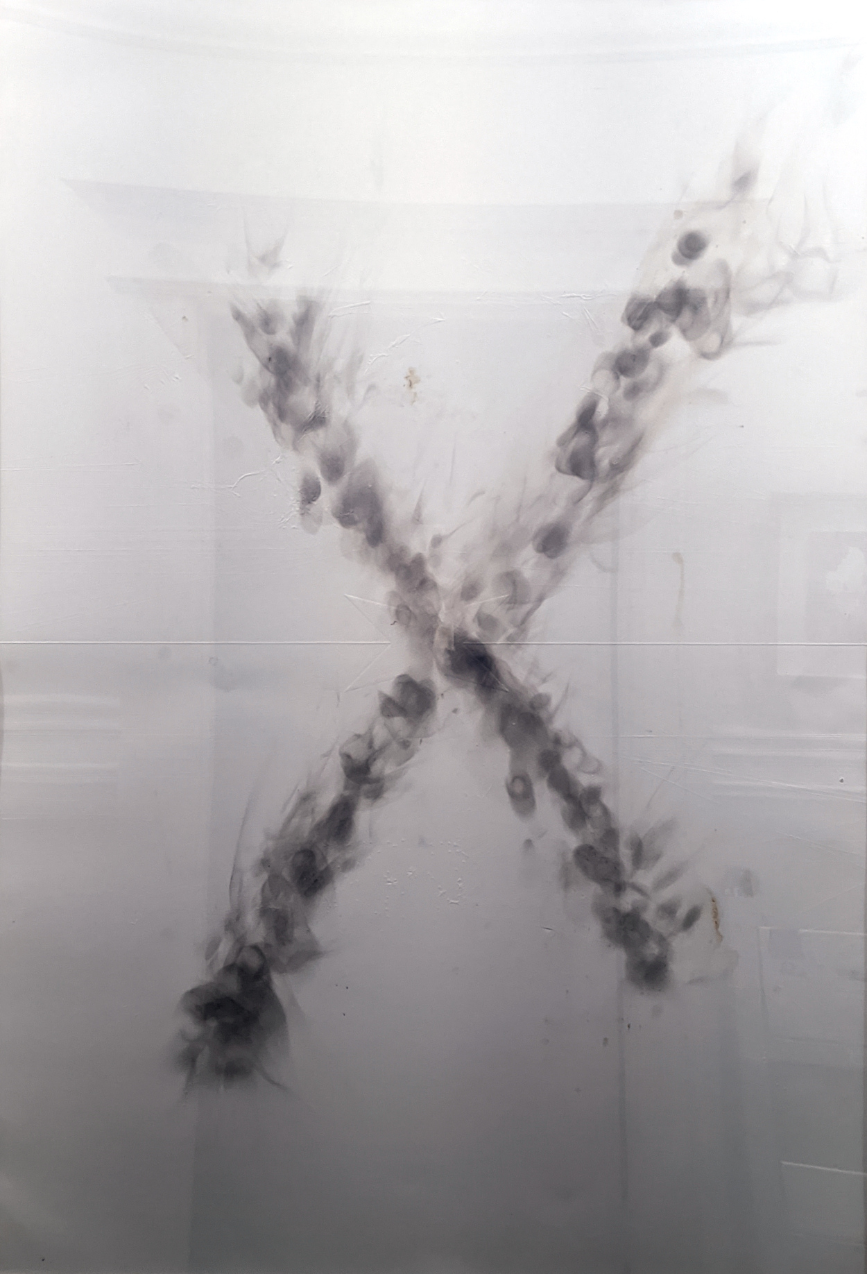
Variable display size, displayed in multiple with optional 1080p projection. Portfolio of 3 burn/hope monoprints using laser-cut large-format debossing, lemon juice, isopropyl alcohol, lighters, flame, smoke and one imprint-only print. Open set of 3 with burn “X” monoprints one white print, on 300g/msq white velvet somerset paper, 30 x 44 inches (760mm x 1120mm). With Emily York and Courtney Sennish. Open set of 1 etched mirror in two parts, 30 x 44 inches. Two oceans symmetries: Atlantic and Pacific, 60 x 44 inches.

2022-ongoing


Hyper-symmetric map of the earth that allows 180 degree rotations and multiples with tiling for a future with more flexible thinking about the connected world. This is a vertically-compact re-design of the Cahill-Keyes Butterfly M map that re-centers around the North Pole and adds a unified Antarctica continent. This continues the work started by Buckminster Fuller with his Dymaxion map, and creates a hyper-symmetric/flippable world map centered on the North Pole without nation-state primacy, designed such that no part of the world “is on top.”

It includes infrastructure markings for

  • Submarine Cable / Fiber Links
  • Tor Exit Nodes
  • Internet Exchanges
  • Starlink Gateways
Used as the base projection for geolocation of internet phenomena.

internet-seance-2023

Exploratory talks with small groups discussing current internet infrastructure, from fiber optic cables, starlink and LEO satellites, and mobile network providers, and perceptions of a connected global village versus the holes in current reality. In addition, the state of web, news, social and streaming media, and how censorship and villainy thwart utopian ideals. The sessions end with an optional tarot card draw and aggregate interpretation “for the internet in 2023.”

Here’s a small A5 booklet that describes the performance.

Playing With Fire*


Inkjet on washi, folds, PVA adhesive, titanium-zinc white oil paint stick, mylar tape, washi tape, glitter, handwritten notes in graphite.

Playing With Fire* (Peer-Centered Network Map), double-sided inkjet and foldable. Dimensions 22H x 68W inches, unfolded. Edition of 5.

Upside-down At Any Angle (Peer-Centered Network Map), single-sided inkjet triptych of 31 x 22 inch panels. Dimensions 66H x 31W inches.

2019, 2020


Internet maps composed of three components: sixteen months of the locations of people that share gun files on the internet (black circles), the infrastructure of high speed optical fiber from submarine cables (yellow lines), and network bridges / exit nodes on the Tor network that link the internet to the dark web (red rays). The sampled data, the infrastructure data, and the dark web data are rendered onto the globe with a Cahill-Keyes projection.
On September 1, 2018, the United States Department of State banned Defense Distributed, a company in Texas, from the distributing files for the first 3D printed gun, the Liberator. These files immediately re-appeared on the dark web, on private download sites, attached as messages sent on phones, on peer-to-peer networks, and other networks all over the world. Since then, schematics for additional weapons have circulated, including AR-15, AK-47, Glock 17, and accessories such as large capacity magazines and bump fire gadgets. On the day of the ban, computers using custom software started sampling the internet to collect any data on users sharing these files, sampling peer-to-peer traffic to construct a sixteen-month history of network locations. The sampling effort, and the attempts to visualize this flow of virtual weaponry, continue into the present.